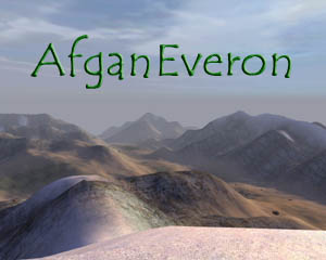
OFP-D Afganeveron v2.0 and AfganPack v2.0 The Afganeveron map is dedicated to Commandant Ahmed Shah Massoud
DOWNLOAD OFP-D AFGANEVERON v2.0 : MIRROR 1 (ofpd.org) / MIRROR 2 (ofp.info) / MIRROR 3 (ofp.info) [27,2 Mb - RAR] And compare them to these real afghanese pictures !
DOWNLOAD OFP-D AFGANPACK v2.0 : MIRROR 1 (ofpd.org) / MIRROR 2 (ofp.info) / MIRROR 3 (ofp.info) [13,7 Mb - RAR]
For "in action" screenshots, go to the Gallery
* * * DESCRIPTION of AFGANEVERON :
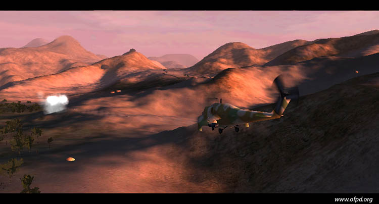
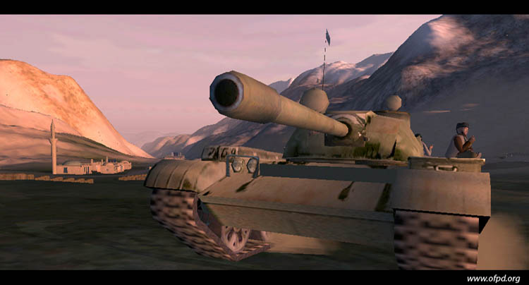
Afganeveron is a map of afghanese inspiration which includes the map by itself, objects and textures. This map aims at representing rural area of North-Eastern part of Afghanistan : no industries, no big administrative buildings, no electricity or telephone network. Agriculture, handcraft and trade are the major economic activities. Each big city has its mosquee or just a place of prayer and a small minaret in villages. There is too madrasa (medersa), schools lead by imam and mufti, with a country map and a farsi style arabic alphabet board inside. If you're an early riser, you could hear the morning Azan. And in the agitation of the day, listen to the Some of these areas stand at high altitudes with snow in the mountains. The combination of arid hot climate and water provided by high altitude glaciers gives a special aspect to the landscape of the region : desert, green field and white snow. In the South-West of the map stand a little area "out of context" using the North Africa building set, made for the purpose of maps for nowadays counter-terrorist fights in Algeria or Algeria's war of independence clash between France and National Liberation Front in the 50's-60's. In the white madrasa stand a map of Algeria during the French colony era.
* * * CONTENTS of AFGANPACK : - Taliban units * * *
|